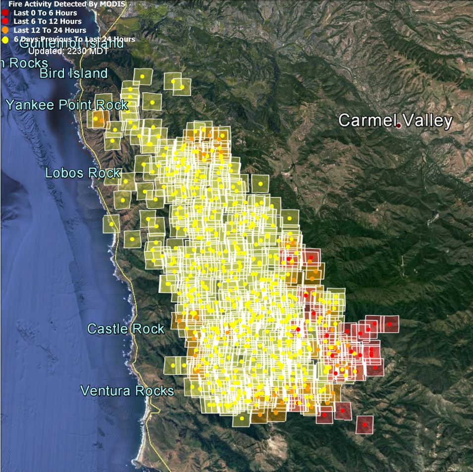
Big Sur Kate has some great dozer maps of the fire as of early this morning. They explain why the fire has made strong progress to the south and east. The newest MODIS images show that that is happening, but the lines are holding elsewhere.
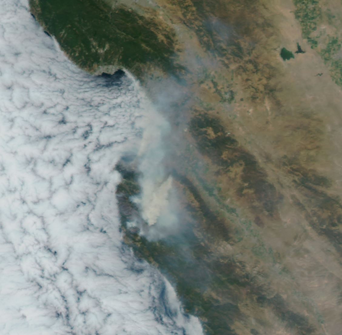
This afternoon’s MODIS visible band image shows why the Carmel Valley wasn’t as smoky today as it has been.
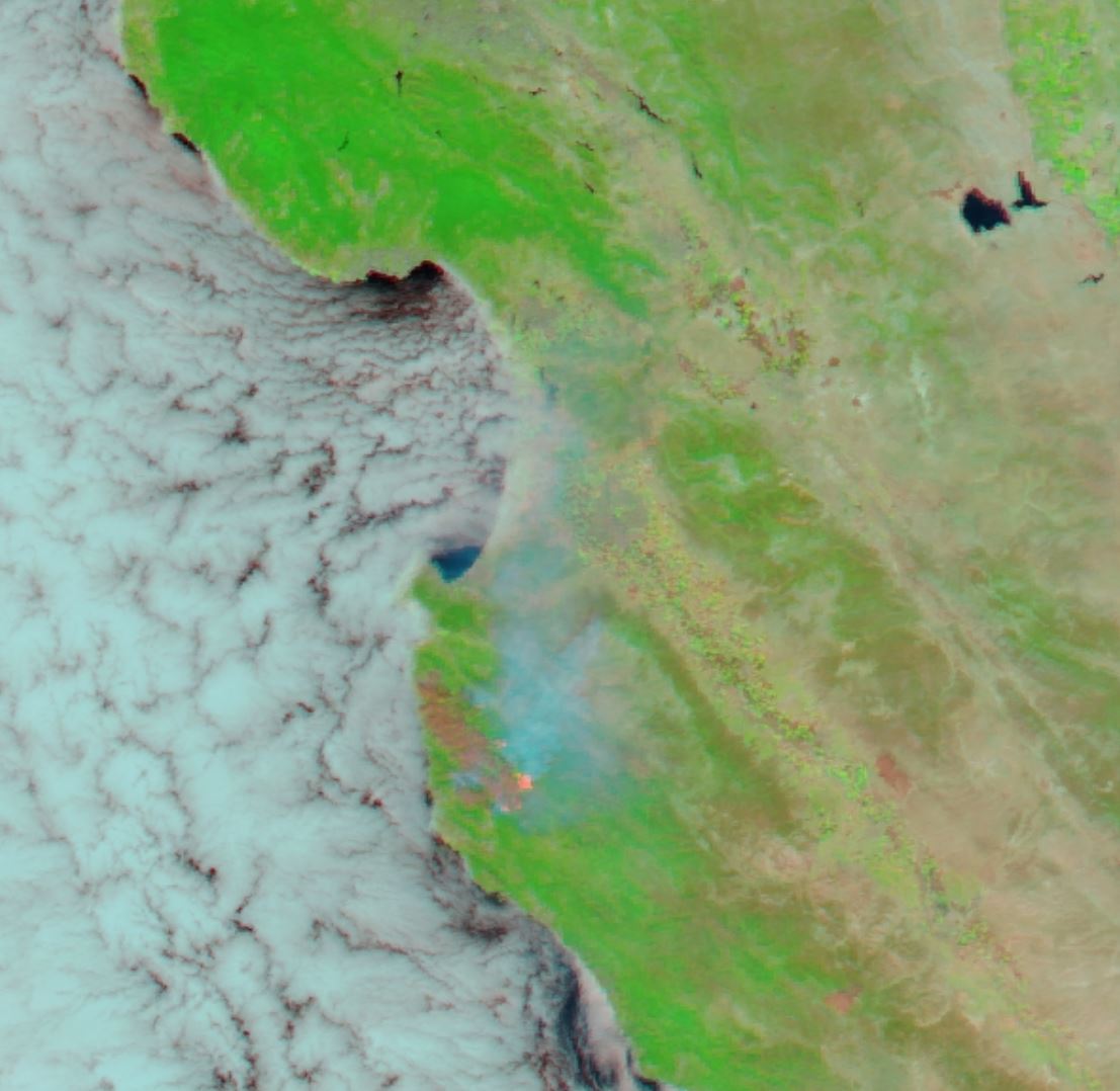
Today’s UV/IR false color MODIS image shows the flames in the southern part of the fire area, and also the devastation where the fire has been.
Still no MODIS radiant power data. Sorry.


Leave a Reply