
The second VIIRS pass and the MODIS data looks better for the area around the villliage of BIg Sur. First, VIIRS: In the west: Nothing new near the inhabited area around Big Sur. The western part of the fir continues towards the east. In the east: The … [Read more...]
Archives for August 9, 2016
Soberanes Fire VIIRS data — 1400 8/9
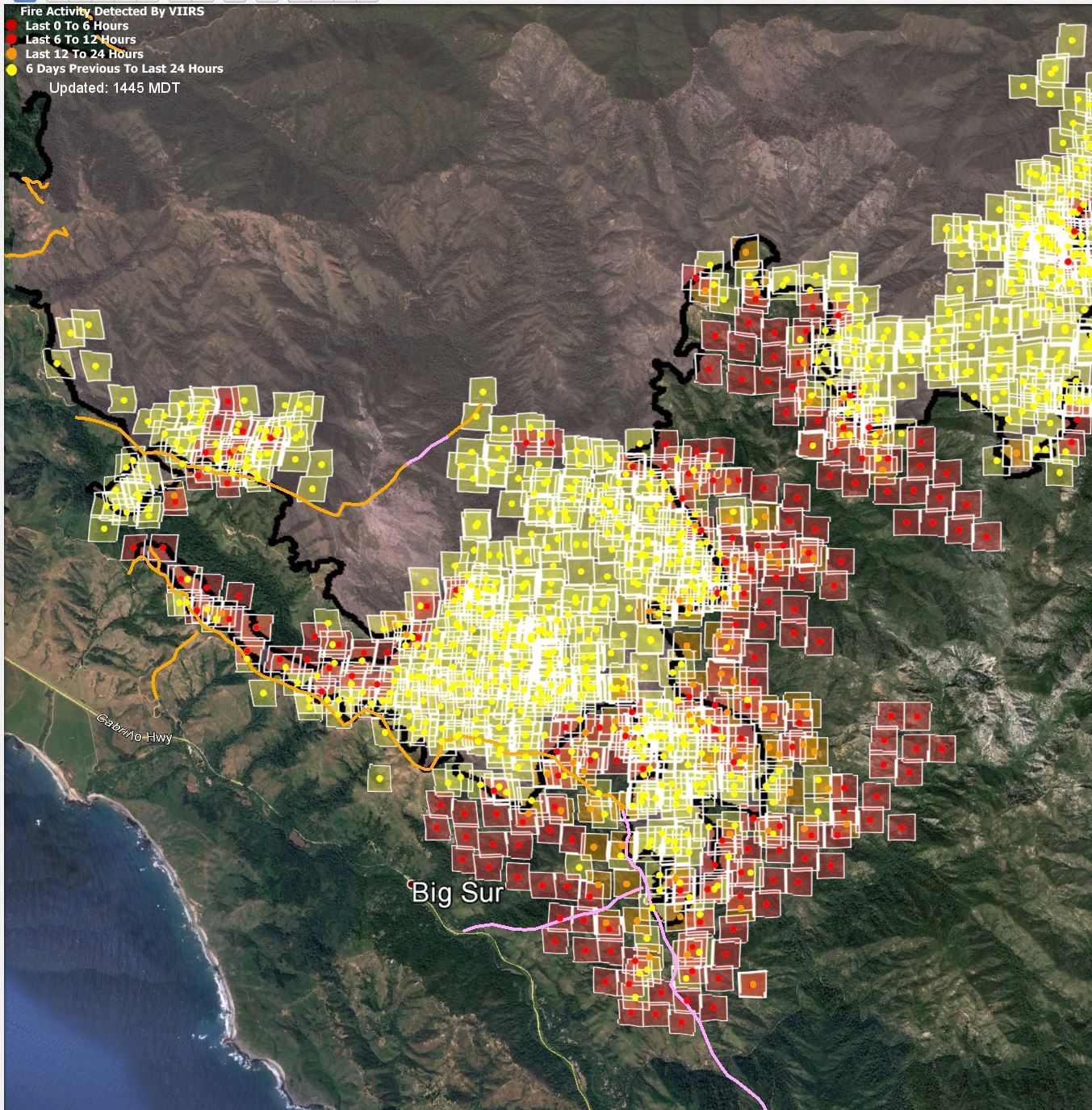
It looks like the first MODIS pass today missed us, and the second one is just about to happen, but I have VIIRS data for today's daylight pass. It doesn't look pretty: In the west: The heat on the good side of the northwestern portion of the fire break looks like … [Read more...]
Soberanes Fire aerial/VIIRS/MODIS data — 0730 8/9
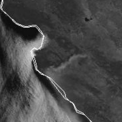
It took me a while to get the MODIS and VIIRS data sets to download, but I finally have all three IR maps and the official fire perimeter. First, last night's and the nigh before's fire perimeter overlaid on the same Google Earth map: In the west, we see the long skinny … [Read more...]